Recently, there’s been a buzz on social media regarding paramotor pilots inadvertently (or sometimes, ignorantly) flying in areas they shouldn’t. While comprehensive UK Air Law is a fundamental part of our training at Sky Riders, we understand the need to have this critical information constantly to hand. This article aims to serve as your go-to guide, ensuring you’re always making informed, legal, and safe flight decisions. Remember, even though paramotors operate in uncontrolled airspace, we are still aircraft with responsibilities under the Air Navigation Order.
The Non-Negotiable: Understanding NOTAMs
A NOTAM (Notice to Airmen) is a notice filed with an aviation authority to alert aircraft pilots of potential hazards along a flight route or at a location that could affect the safety of the flight. Think of them as essential, real-time updates for the sky.
Why are NOTAMs crucial for paramotor pilots? They inform you about:
- Temporary airspace restrictions (e.g., for airshows, military exercises, VIP movements).
- New obstacles (e.g., temporary masts, crane operations).
- Changes to typical airspace boundaries or procedures.
Ignoring NOTAMs is not an option. It can lead to serious safety incidents, legal repercussions, and reflects poorly on the entire paramotoring community. Always check current NOTAMs before every single flight. Resources like NOTAM Info are indispensable for this.
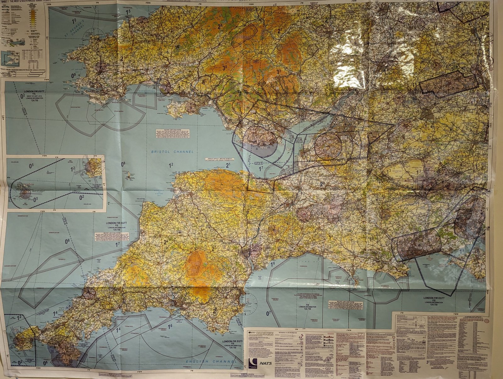
Navigating Our Local Skies: Yeovilton Airspace & the AIAA
For pilots in the South West of England, understanding specific local airspace restrictions is crucial. Our proximity to Yeovilton means we share the skies with a large number of military aircraft.
- Yeovilton Airspace & MATZ: RNAS Yeovilton operates a Military Aerodrome Traffic Zone (MATZ). This is a protected airspace around military airfields, designed to keep civilian aircraft out of critical operational areas.
- AIAA (Area of Intense Air Activity): The AIAA, extending far into Somerset, signifies an area where intense military flying activity occurs. While often Class G (uncontrolled) airspace, the heightened traffic density demands extra vigilance.
Our Commitment at Sky Riders: Whenever we conduct training or group flights, we always submit a CANP (Civil Aviation Notification Procedure), or contact Yeovilton to make them aware of our activities. This proactive communication is essential for enhancing safety and maintaining a positive relationship with our military colleagues. This is something we teach our students as best practice.
Conspicuity Devices: Enhancing Your Visibility
There are some valuable tools that exist to improve our visibility to other air users, making the skies safer for everyone.
- Sky Echo: This device transmits your position via ADS-B, making you visible to aircraft equipped with ADS-B receivers and relevant ATC units.
- SafeSky (and Gaggle Integration): SafeSky is a popular app that aggregates traffic data from various sources (including ADS-B from Sky Echo, FLARM, OGN). Its integration with Gaggle allows paramotor pilots within a group to see each other, significantly enhancing situational awareness amongst yourselves. It’s a fantastic tool for reducing mid-air collision risks with other light aircraft.
While these devices are excellent for making you visible to general aviation and many commercial aircraft, it’s vital to understand that not all aircraft, especially military, are equipped to ‘see’ these signals. Military helicopters may not have ADS-B receivers active or compatible systems. This is why checking NOTAMs, submitting CANPs and contacting the military ATC teams (like Yeovilton), and having an intimate knowledge of restricted airspaces remain absolutely essential for paramotor pilots. Your flight plan and direct communication are often the primary means of separation from other traffic.
Hidden Restrictions in “Open” Airspace
It’s a common misconception that in open airspace, you’re free to fly anywhere. Even in Class G (uncontrolled) airspace, there are areas where paramotors are prohibited or highly restricted:
- Danger Areas (D-Areas): These are areas of defined dimensions within which activities dangerous to the flight of aircraft may exist at specified times. They are often used for military firing ranges, explosives testing, or other hazardous operations.
- A prime example in our region is the Lulworth Ranges. These areas are frequently activated for live firing.
- Activation Times: The activation times for Danger Areas are published via NOTAMs, but for frequently activated areas like Lulworth, you can also find schedules on the UK government’s website (e.g., “Lulworth Ranges firing times” on GOV.UK). It’s your responsibility to know when these are active.
- Restricted Areas (R-Areas): Areas within which the flight of aircraft is restricted in accordance with certain specified conditions.
- Prohibited Areas (P-Areas): Areas within which the flight of aircraft is prohibited. These are rare but critically important (e.g., over certain nuclear facilities or highly sensitive government sites).
Fly Smart, Fly Safe, Fly Legal
Understanding and respecting UK Air Law is not just about avoiding fines or prosecution; it’s about safeguarding your life, the lives of others in the air, and preserving the future of paramotoring as an unlicensed aviation sport. At Sky Riders, we provide you with the knowledge and skills to be a responsible pilot. Always plan your flights meticulously, check all available information, and when in doubt, don’t fly.